
Victorian Landcare Magazine - Spring, Issue 92
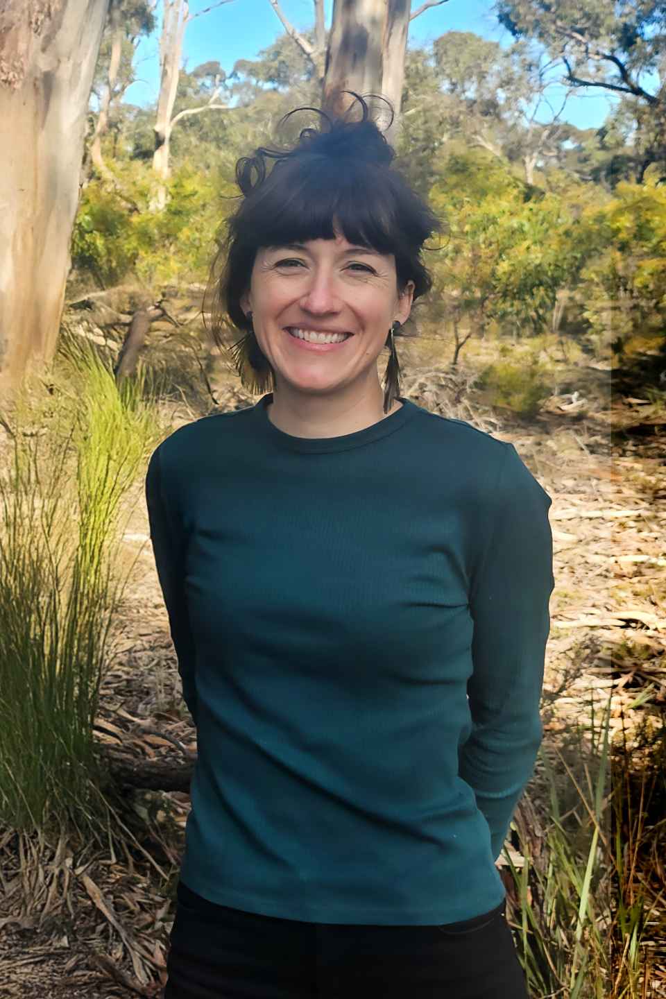
Across a fragmented western Victoria landscape, Dr Elia Pirtle has transformed more than 10 landcare groups into a coordinated force for biodiversity restoration.
For more than five years, Elia has been asking a deceptively simple question: how can landcare groups select the best planting sites to maximise outcomes for wildlife?
As Landcare Facilitator with Project Platypus and coordinator of the Grampians/Gariwerd to Pyrenees Biolink Project, she has developed new tools, methods and partnerships that are helping volunteers answer that question with confidence.
The challenge is significant. More than 90 per cent of the native woodland between the Grampians/Gariwerd and the Pyrenees regions in western Victoria has been cleared over the past two centuries, leaving wildlife isolated in scattered patches of habitat on farms, roadsides and public reserves.
Species such as woodland birds and squirrel gliders can become stranded in these islands of remnant vegetation, with shrinking access to food, shelter and mates.
While many landcare groups shared a desire to tackle this challenge, Elia recognised that enthusiasm alone was not enough. Volunteers needed practical ways to identify high-value habitat, assess its condition and determine where new wildlife corridors would have the greatest impact.
Her response has been to create a system that makes sophisticated conservation planning accessible to community volunteers.
One of the most innovative elements of the project is the use of autonomous bird monitoring. Commercial BirdWeather PUC units, running the Cornell University-developed BirdNET artificial intelligence model, can identify bird calls around the clock.
However, they typically require mains power and internet access, making them difficult to use in remote bushland.
Elia adapted the technology for Australian landcare conditions by integrating solar power, batteries and 4G connectivity, creating fully autonomous off-grid monitoring stations.
The result is a network of 29 monitoring stations being deployed across the landscape with support from Victorian Government and National Heritage Trust funding.
The stations collect continuous data on woodland bird communities, providing an objective measure of habitat quality. Importantly, volunteers do not need specialist bird identification skills to participate.
The technology does the heavy lifting, while community members contribute to survey efforts and conservation planning.
However, technology alone is not enough to solve the problem. Elia also developed a simple habitat assessment index that allows volunteers to record vegetation quality consistently across sites.
Combined with bird monitoring data, this creates a robust picture of where important habitat remains and where revegetation could provide the greatest benefit.
The third piece of the puzzle is connectivity. Through a partnership with conservation technology company Patchweave, Project Platypus has developed a mapping application that enables landcare groups to contribute habitat information to a shared biolinks map.
The platform brings together habitat surveys, species records and revegetation opportunities into a single landscape-scale planning tool. Perhaps Elia’s greatest achievement has been bringing people together. More than 10 landcare groups are now working toward a shared goal of reconnecting habitat between two major mountain ranges.
Rather than replacing local priorities, the project provides common tools, methods and data that allow each group to contribute to a broader vision, while maintaining local ownership.
To support this collaboration, Elia established a cross-group Biolinks Team and developed a 2026-28 strategic plan built around an easily understood four-step process: find the remnant vegetation islands, measure their quality, find the best bridge sites and build the bridges.
The approach turns a complex ecological challenge into a practical roadmap that volunteers can follow.
Elia is praised for her presentations, which combine science, storytelling and original illustrations to explain complex conservation concepts in ways that inspire action.
These creative communication tools have helped attract partners, funding and community support, ensuring that the project continues to grow.
“Elia gave volunteers the tools to see,” Yarrilinks Landcare Network Landcare Facilitator Dr Alicia Merriam said.
“Her solar-powered AI bird monitors and shared habitat map turn 10 landcare groups into a landscape-scale biolink.”
Established in 1995, Romawi Landcare Group received a Highly Commended award for its decades-long restoration of the Forge Creek Water Reserve in East Gippsland.
The group has pioneered innovative techniques, including rock chutes to recreate a chain-of ponds ecosystem, reusable exclusion plots to protect revegetation from floods and grazing animals, and coir collars that have achieved seedling survival rates of up to 100 per cent within six months.
Long-term water quality monitoring, fish surveys and community engagement have helped restore habitat for threatened species, including the endangered Flinders pygmy perch, while inspiring landcare groups across the region.
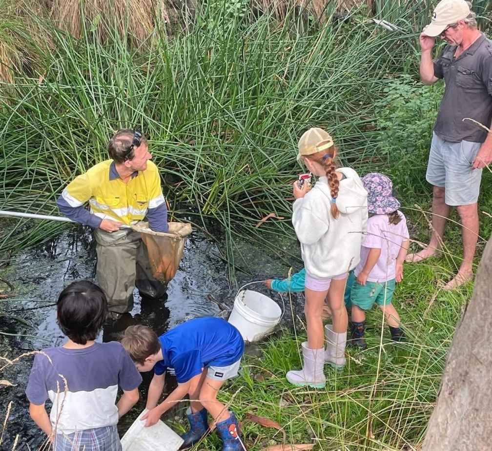
Above: Romawi Landcare runs macroinvertebrate surveys in Forge Creek, supported by keen helpers.